The Role Of Satellite Technology In Monitoring And Protecting Coral Reef
The oceans are a cornerstone of life on Earth, housing a vast array of creatures that play critical roles in sustaining ecosystems and supporting humanity. From vibrant coral reefs to expansive kelp forests, marine life shapes the health of our planet by influencing climate patterns and providing livelihoods through industries like fishing and tourism. Yet, this delicate system faces unprecedented pressure. Pollution infiltrates every corner of the sea, overfishing pushes species toward collapse, and rising temperatures along with acidification disrupt marine ecosystems on a global scale.
In the fight to preserve these waters, advanced technologies like satellites have emerged as game-changers. High-resolution satellite images enable precise monitoring of marine environments, revealing shifts in biodiversity and pinpointing the impact of human activities in real time. This innovation offers a powerful tool for conservation, empowering efforts to safeguard the oceans and ensure they continue to thrive for generations to come through scalable analysis of the latest satellite imagery.
The Importance of Monitoring Marine Biodiversity
The ocean brims with life, from microscopic plankton to majestic whales, creating a dynamic and interconnected web that sustains the planet. Far beyond its beauty, this diversity is essential to Earth’s survival. Oceans help regulate global temperatures, absorb vast amounts of carbon dioxide, and generate much of the oxygen we breathe. They also provide food for billions, shield coastal communities from erosion, and strengthen the resilience of ecosystems worldwide, underpinning the balance of life on our planet.
But as we’ve established, this fragile balance is under threat. Warming waters and acidification, driven by climate change, are transforming habitats and pushing species to the brink. Overfishing strips the seas of crucial populations, while plastic pollution and oil spills suffocate marine life. As the ocean struggles, so do we by losing not just species, but the services that keep our planet alive.
These are all critical ecosystems that demand broad monitoring. Knowledge of the health and dynamics of marine biodiversity provides a better basis for management and conservation. Innovative tools, like historical and up-to-date satellite images, help transform our ability to observe and protect these underwater worlds, offering a path toward preserving the oceans’ natural treasures for future generations.
How Satellite Technology Enhances Monitoring Efforts
Satellites orbit the Earth, providing a bird’s view of the oceans, and enable scientists to monitor with great detail changes in marine habitats. They are mapping enormous coral reefs, showing their health and the damage following a number of threats such as bleaching or sedimentation. Satellites also monitor changes in ocean temperatures for critical insights into the impact of climate change on marine species and currents.
Satellites are the game-changers in the fight against illegal fishing. In fact, satellites can provide real-time satellite view to identify unregistered vessels operating in protected waters, a tool that was needed to help different authorities enforce the law and protect biodiversity. The immediacy of this technology ensures that information is available when it’s most needed, and interventions can be timely to mitigate damage.
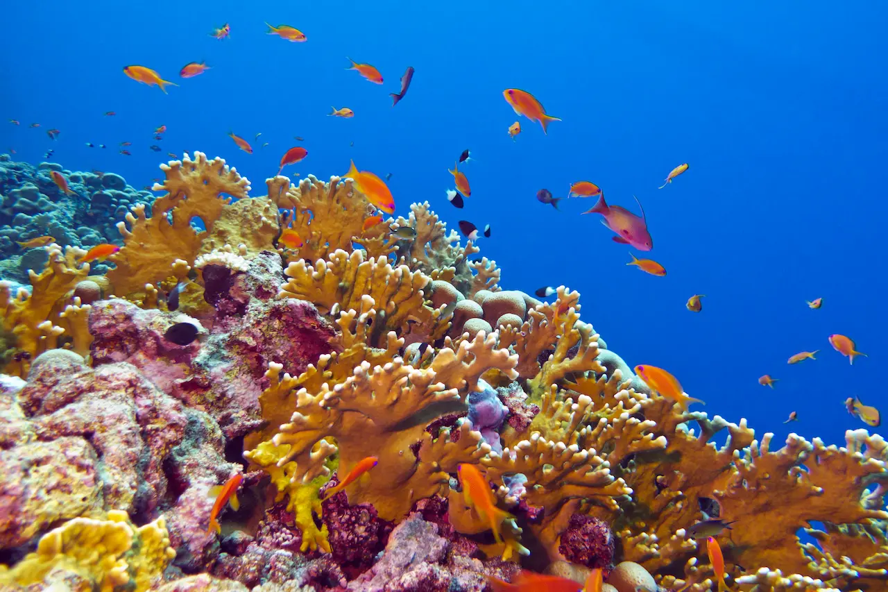
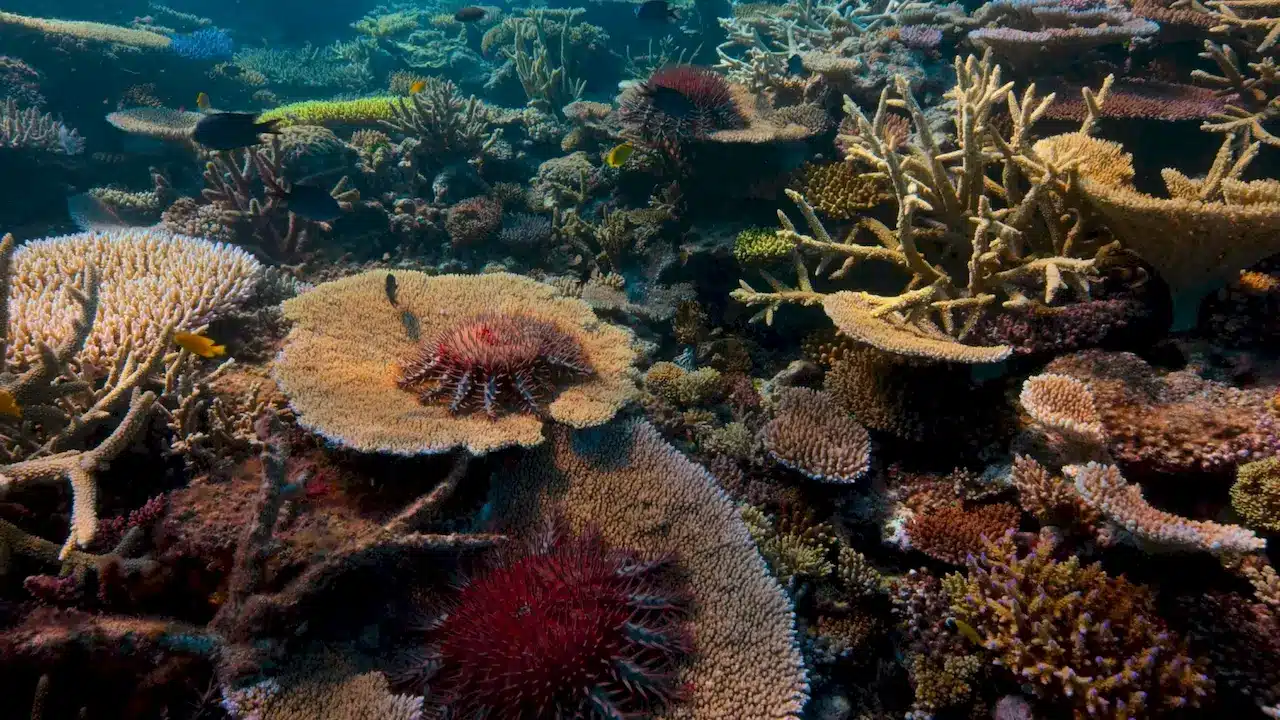
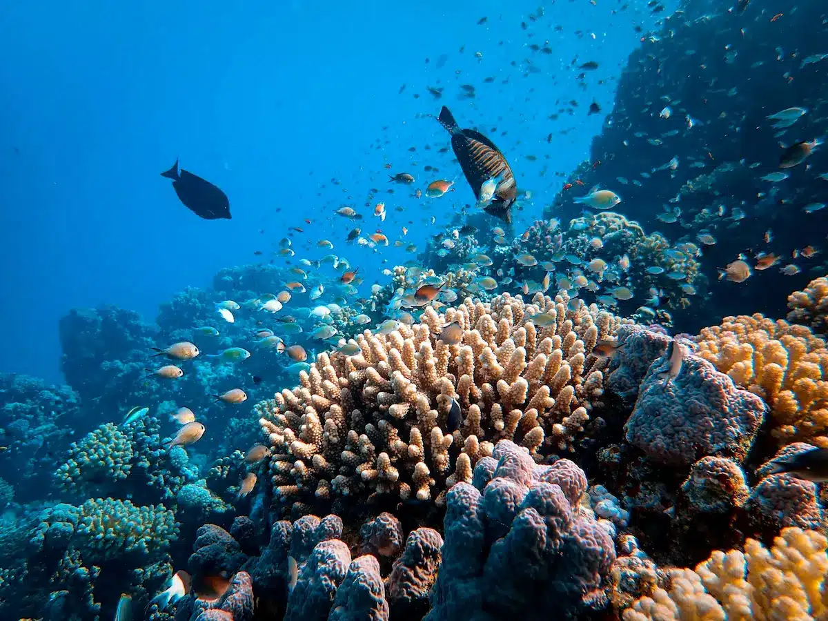
Coral Reef Monitoring
Satellites let scientists observe the early signs of coral bleaching — one of the most devastating effects of rising ocean temperatures — by capturing data on ocean temperatures and water clarity, even the color of reef systems. When the water gets too warm, corals release the algae that give them color and provide them with much of their energy, leaving behind ghostly white skeletons. This is a process called bleaching, and it can cause widespread coral die-offs if the stressful conditions persist.
Organizations and partnerships have harnessed the power of satellite data to protect coral reefs. For example, NASA’s Coral Reef Airborne Laboratory (CORAL) uses advanced imaging spectrometry to analyze reef ecosystems, while initiatives like the Allen Coral Atlas combine satellite imagery with machine learning to create high-resolution maps of coral reefs globally. These tools enable researchers and conservationists to monitor changes in reef health over time, identify areas at risk, and take targeted action to mitigate damage.
These efforts at the integration of satellite view of the Earth with ground research give hope for coral reef preservation. The prospect of observing reefs from space, detecting early warning signs of bleaching, and guiding conservation strategies is changing how we protect these underwater treasures in an era of climate uncertainty.
Advancing Conservation Through Satellite Data
Satellite data has become a cornerstone in safeguarding Marine Protected Areas (MPAs), offering current satellite imagery to monitor human activities like illegal fishing, unauthorized vessel movement, and pollution. This real-time perspective ensures compliance with regulations, providing enforcement agencies with the tools to act swiftly and decisively. Beyond enforcement, satellite insights play a crucial role in shaping policies, guiding sustainable practices, and aligning MPAs with global conservation goals such as those outlined by the United Nations.
The transformative power of satellite technology lies in its ability to make the invisible visible: tracking oceanic changes, mapping ecosystems, and supporting biodiversity conservation on an unprecedented scale. However, to protect marine ecosystems effectively, continuous innovation in satellite tools, improved data sharing, and collaboration among governments, researchers, and conservation organizations are essential. With these efforts, we can ensure that marine biodiversity thrives, securing its benefits for both the planet and humanity.
______________
Author :
Kateryna Sergieieva has a Ph.D. in information technologies and 15 years of experience in remote sensing. She is a scientist responsible for developing technologies for satellite monitoring and surface feature change detection. Kateryna is an author of over 60 scientific publications.